
From Above: The Impact of Drones on Wildlife Conservation
A New Conservation Lens from the Sky
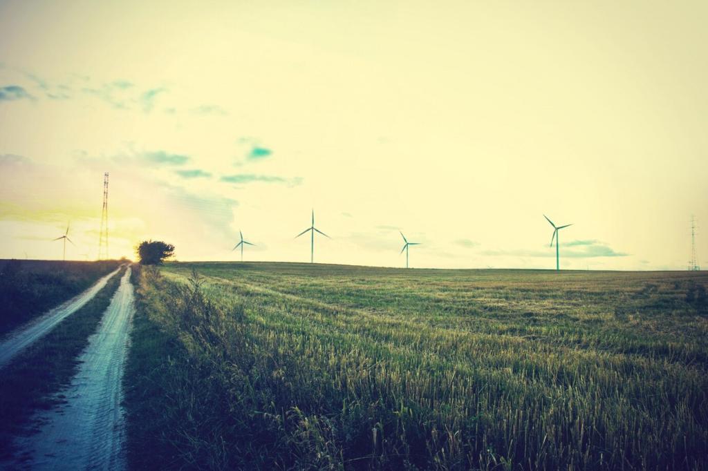
Eyes Above the Canopy
From mangrove edges to savanna grass, drones reveal tracks, nests, and subtle habitat shifts. A ranger told us their first aerial map felt like borrowing an eagle’s eyes, suddenly connecting scattered clues into one living picture.
From Hours to Minutes
Where teams once hiked all day counting seals or scanning for snares, a drone now covers the same area in minutes. Rapid flights free time for actual protection work—repairing fences, mentoring youths, or guiding herders away from conflict zones.
Your First Look from Above
Remember your first bird’s‑eye view, real or imagined? Share it with us. What did you notice first—patterns, colors, movement? Subscribe and tell your story; your perspective might guide our next field tutorial.
Ethics in the Air: Minimizing Disturbance
Not all species react the same. Seabirds may flush at lower altitudes; elephants notice repetitive buzzing. By flying higher, choosing quieter propellers, and keeping hover time brief, pilots reduce stress while still gathering essential evidence.

Data‑Driven Protection: Sensors, AI, and Swift Decisions
Warm signatures stand out at dusk: a rhino, a ranger, a trespasser. Teams that once relied on distant engine noise now read thermal silhouettes, coordinating responses that protect animals without risky confrontations or wasted night patrols.
Data‑Driven Protection: Sensors, AI, and Swift Decisions
Leaf health, soil moisture, and invasive spread become visible in stitched mosaics. By comparing monthly maps, crews predict drought stress and plan water points, reducing conflict as elephants and cattle seek the same shrinking resources.
Data‑Driven Protection: Sensors, AI, and Swift Decisions
Dashboards ping when corridors clog or fences fail. A volunteer in camp sees the alert, radios a ranger, and within minutes a gap is repaired. Subscribe for our practical guide to turning footage into field‑ready action plans.
Learn, Practice, and Fly Responsibly
Start with a simulator, master checklists, and practice over empty fields. Join local conservation groups to learn site protocols. Share your progress, ask questions, and subscribe for our downloadable preflight cards and quick‑reference wildlife guidelines.
Open Data for Open Habitats
Contribute orthomosaics to shared repositories, tag images carefully, and credit communities who host flights. Public basemaps help track habitat recovery and guide restoration grants. Comment with your favorite open tools and we will feature them.
Subscribe, Share, and Collaborate
Be part of our sky‑level community. Subscribe for field tips, submit a short mission report, or invite us to spotlight your project. Your story may spark the next protective flight for a species on the brink.